


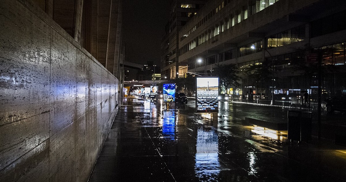
Ohio’s wet Thursday is winding down the way it started — under clouds, with rain falling mainly during the evening before it tapers overnight, according to the National Weather Service. No land-based watches or warnings are in effect tonight, but it stays raw: north winds of 10 to 15 mph, gusting to 25 to 30 mph in northern Ohio, will push lows into the lower 30s along Lake Erie and the mid-30s across central and western Ohio, and wet roads will stay slick for late travelers.
In northwest Ohio, Toledo and the shoreline see rain showers likely this evening, with a 70 percent chance of rain and lows in the lower 30s, before skies turn mostly cloudy overnight. Defiance, Findlay and Lima follow the same pattern, with lows in the mid-30s. Friday stays mostly cloudy across the northwest, with highs only in the lower 40s and just a small chance of a lingering shower.

Northeast Ohio keeps the unsettled pattern longest. Cleveland, Akron-Canton and Youngstown see evening showers give way to mostly cloudy skies, with lows in the lower to middle 30s. The Weather Service in Cleveland says showers turn localized and lake-driven tonight through Saturday, mainly over north-central and northeast Ohio, with snow mixing in at times away from Lake Erie, though the risk of any impactful accumulation remains low. On the lake, a Small Craft Advisory remains in effect until 1 p.m. Friday, with north winds of 15 to 25 knots and waves of 6 to 9 feet from the Islands to Geneva-on-the-Lake, so boaters should stay off the water.
Central Ohio gets its steadiest rain early tonight. Columbus sees rain early in the evening, with the chance of rain around 90 percent, before skies turn cloudy overnight with a low near 38. Around Kenton and Ada the chance of rain is also 90 percent tonight, mainly in the evening, with lows in the mid-30s. Friday is mostly cloudy, with highs in the lower to middle 40s and a chance of rain returning in the afternoon.
The southwest and southeast share the evening rain before a colder, quieter night. Dayton and Cincinnati see rain mainly this evening with lows in the middle to upper 30s, while Athens, Marietta and Portsmouth — Thursday’s mildest corner of the state — cool into the upper 30s overnight. Friday highs reach only the lower 40s in the southwest, while the southeast holds a little warmer, in the middle to upper 40s, under mostly cloudy skies.
Friday is the colder turn statewide. Highs hold in the lower 40s in most of Ohio, with upper 30s possible in parts of the northeast snowbelt, and lake-effect showers linger near Lake Erie into Saturday. Friday night turns partly cloudy as skies begin to clear, and lows drop into the upper 20s inland and around 30 along the lakeshore — one of the coldest nights of the season so far.
The weekend dries out but does not warm up much. Saturday is partly cloudy to partly sunny with highs in the lower to middle 40s, Sunday is partly cloudy in the middle to upper 40s, and Monday stays partly cloudy in the upper 40s. Moderation waits until next week, when Tuesday turns mostly sunny in the lower 50s and Wednesday reaches the middle 50s in southern Ohio. For tonight, allow extra time on wet roads and dress for the gusty north wind rather than the thermometer.
Photo: Billie Grace Ward, CC BY