


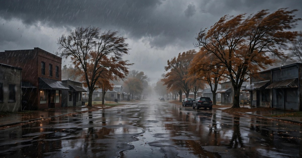
Ohio gets only a brief midday lull on Thursday, November 12, before a second, more widespread round of showers moves across the state this afternoon and evening, according to the National Weather Service. Morning rain tied to a compact low pressure system tracking through the upper Ohio Valley is exiting to the east, but temperatures that settled into the mid to upper 40s by sunrise will rise only a couple of degrees, and may backslide this afternoon as colder air and rain return.
In northern Ohio, the Weather Service in Cleveland said another batch of showers is likely this afternoon and evening as a sharp trough drops across the region, with lake enhancement making some showers heavier west and southwest of Cleveland. Much of the area should see another tenth to a quarter inch of rain today, with a localized half inch to an inch possible in Erie, Huron, Lorain, Richland and Ashland counties. Northerly gusts will increase to 20 to 30 mph late this afternoon and evening behind the trough.
In the Northwest, Defiance, Findlay, Lima and Toledo remain under showers with highs only in the upper 40s, around 47 to 49 degrees on the tabular state forecast issued by the Weather Service in Wilmington. In the Northeast, Cleveland reaches about 50 degrees, Akron-Canton and Youngstown about 49, with showers continuing. Mansfield stays in the upper 40s with showers, and Sandusky reaches about 49.
Central Ohio sees rain at Columbus, where the high reaches about 52 degrees, while Zanesville and New Philadelphia see showers with highs near 51. The Miami Valley and Southwest are mostly cloudy, with highs near 51 at Dayton, 52 at Wilmington and 54 at Cincinnati. In the Southeast, Athens and Jackson reach about 52, Marietta about 50, and Portsmouth about 56, the warmest high in the state. No land-based watches or warnings were in effect for Ohio, but a Small Craft Advisory remains in effect for Lake Erie through Friday morning, with north winds of 15 to 25 knots and waves building to 5 to 8 feet, hazardous to small craft.
Tonight, the pattern shifts toward lake effect as western Ohio begins to dry out for a time. Showers continue in the evening in many areas, then a relatively drier period is possible for several hours before lake effect re-invigorates heading into Friday. Lows fall into the mid 30s across much of the state and near 39 at Cincinnati. Snow will begin to mix in at times late tonight, especially away from the immediate lakeshore and in higher terrain.
Friday turns colder statewide, with highs from the upper 30s to the mid 40s — about 41 to 43 in Cleveland, Akron-Canton and Columbus, and 45 to 46 in parts of the south. Lake effect rain and snow showers continue into the weekend in northern Ohio, with snow or graupel mixing in at times through Saturday and localized, slushy accumulations possible Friday night into Saturday in a focused band, while most places see little or no accumulation on warm ground. Lows Friday night drop into the upper 20s inland away from the lake.

Saturday and Sunday stay in the 40s, trending a degree or two warmer each day, before dry, tranquil weather takes over next week as high pressure builds in, according to the Weather Service. Monday is partly cloudy in the upper 40s, Tuesday turns sunny around 50 to 52, and Wednesday is sunny with highs in the low to mid 50s. Until then, drivers should expect wet roads and gusty crosswinds for the Thursday evening commute, dress for wind as much as temperature, and boaters should stay off Lake Erie while the advisory remains in effect.