


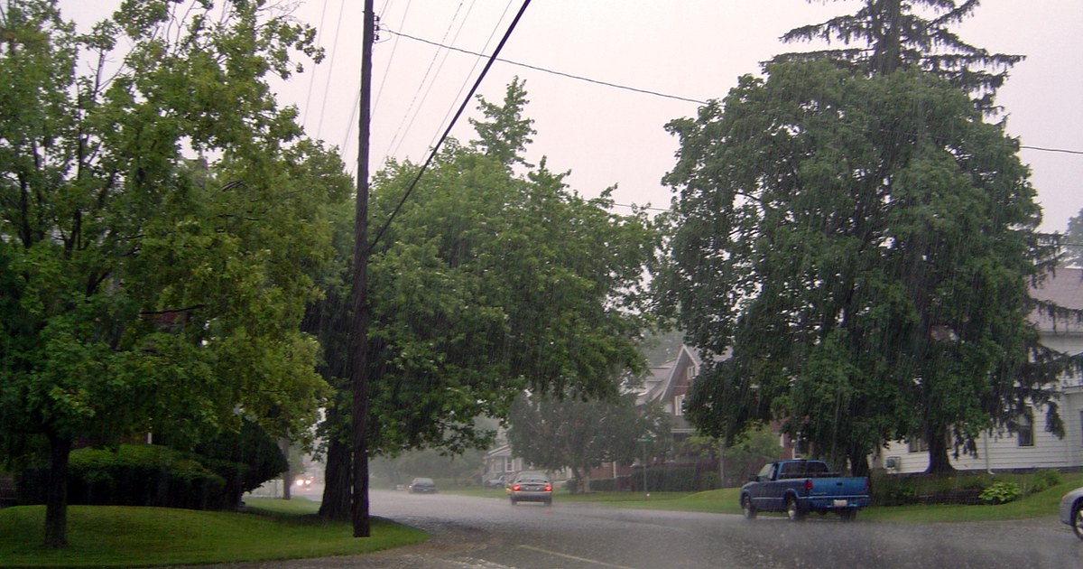
Ohio is not done with the rain yet tonight. The National Weather Service in Wilmington said in its Thursday evening forecast discussion that shower coverage eases early tonight, then picks up again overnight as a shortwave swings through the Ohio Valley, bringing a more widespread round of showers into the overnight hours. No watches or warnings are in effect for Ohio land areas tonight, but it stays raw and wet, with temperatures in the middle 40s this evening falling into the middle to upper 30s by morning and breezy north to northwest winds keeping wind chills in the 30s.
In northwest Ohio, Toledo, Findlay, Lima and Defiance all stay mostly cloudy with off-and-on showers overnight, with lows in the middle 30s, around 36 in Toledo and near 33 in Defiance. Friday brings more of the same across the northwest — mostly cloudy skies, spotty showers and highs only in the lower 40s, around 41 in Toledo, Findlay and Lima and 42 in Defiance, with breezy northwesterly winds through the day.
Northeast and north-central Ohio hold the most active weather into Friday. The Weather Service in Cleveland expects lake-effect rain and a rain-and-snow mix to develop early Friday morning as colder air pours in over a still-warm Lake Erie, with lows tonight around 38 in Cleveland and in the middle 30s in Akron-Canton and Youngstown. On the lake itself, a Small Craft Advisory remains in effect until 10 a.m. Friday for some nearshore waters and until 1 p.m. Friday for others, with north winds of 15 to 25 knots and waves of 6 to 9 feet from the Islands to Geneva-on-the-Lake — boaters should stay off the water.
Central Ohio sees its renewed showers overnight as that shortwave rotates through, with Columbus cloudy and wet early tonight before lows settle near 37. Friday in Columbus and across central Ohio is mostly cloudy with spotty showers, a high near 43 and breezy northwesterly winds. Forecasters in Wilmington note the air aloft will be colder on Friday than it was Thursday, cold enough that thermal profiles may support some snowflakes reaching the surface at times, especially in any heavier shower.
The southwest and southeast follow the same overnight pattern with different Friday temperatures. Dayton and Cincinnati stay mostly cloudy with showers into tonight, lows in the upper 30s and Friday highs in the lower 40s. The southeast is Friday’s mildest corner of Ohio: Athens, Jackson and Marietta cool into the middle 30s overnight, then reach the upper 40s on Friday — 47 in Athens and 49 in Marietta — under mostly cloudy skies with only spotty shower chances.
Friday night is when the colder air settles in hardest. As the lake-effect band shifts across north-central Ohio into Saturday, temperatures drop into the upper 20s to lower 30s inland, while areas near the Lake Erie shore stay above freezing and keep seeing rain. Where precipitation turns to wet snow in the higher elevations of the snowbelt, forecasters expect generally less than an inch, on warm ground that limits accumulation. Drivers overnight should allow extra time on wet roads, and anyone heading out should dress for the wind, not just the thermometer.
The weekend stays chilly but gradually dries out. Saturday is partly cloudy in most of Ohio with highs in the lower to middle 40s, while lake-effect showers continue in the northeast into Sunday. High pressure then builds in, drying the state out Sunday through the middle of next week and slowly warming it — highs in the middle to upper 40s Sunday, sunny skies by Tuesday and Wednesday, and temperatures climbing back into the 50s, with southern Ohio reaching the upper 50s by Wednesday.
Photo: laffy4k, CC BY