


Ohio starts Saturday, November 7, split between two kinds of cold. In the south, a Frost Advisory from the National Weather Service in Wilmington and the National Weather Service in Charleston, West Virginia, runs until 9 a.m. for counties including Hamilton, Clermont, Brown, Highland, Adams, Pike, Scioto, Ross and Lawrence, with temperatures as low as 33 degrees allowing frost to form. In the northeast, colder air behind a passed cold front is driving lake-effect rain showers off Lake Erie, while most of the rest of the state stays mostly cloudy and chilly for the full day ahead.
Highs today run from about 49 in Akron-Canton and 50 in Youngstown to 51 to 53 in Cleveland, about 52 to 53 in Toledo, Columbus and Dayton, and about 54 in Cincinnati and Portsmouth, the mildest spots, according to the National Weather Service tabular state forecast issued in Wilmington at 4:04 a.m. Northwest winds gust as high as 28 mph around Cleveland, and the National Weather Service in Cleveland has a Small Craft Advisory until 10 a.m. for Lake Erie nearshore waters from Maumee Bay to Vermilion, with winds of 15 to 25 knots and waves of 2 to 4 feet.

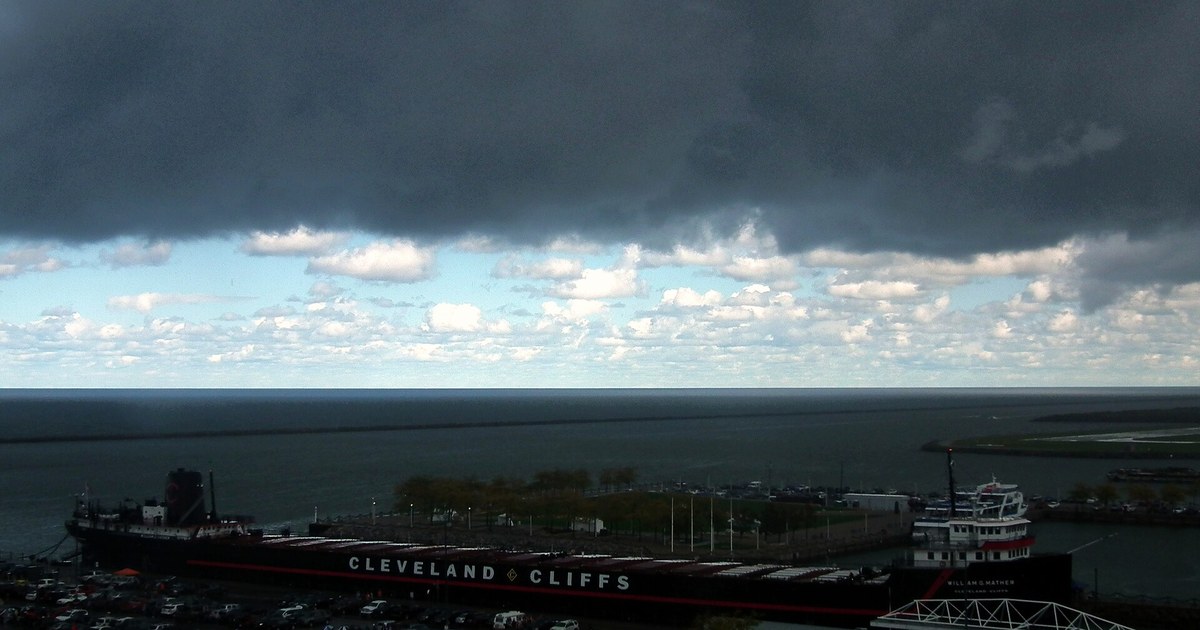
In the Northwest, skies are partly to mostly cloudy with no rain expected — the driest part of the state today. The Northeast is the exception: Cleveland has a chance of rain showers before 5 p.m., Youngstown is showery, and the Cleveland forecast office expects scattered lake-effect showers to continue across the traditional snowbelt through Saturday night. Anyone along the lakeshore should expect damp, windy and raw conditions even when showers pause.
Central Ohio stays mostly cloudy and dry, with Columbus near 52 to 53 degrees. The Southwest is brighter in the south, with Cincinnati sunny after patchy morning frost and a high near 54 to 55, while Dayton stays mostly cloudy near 52. In the Southeast, Portsmouth is partly cloudy near 54 and Athens mostly cloudy near 52, and the main story there is the morning frost — no rain is expected today.

Tonight turns colder statewide. Lows fall into the mid 30s in the north and to about 34 in Columbus, where patchy frost is expected after 4 a.m. The coldest air settles in the south: a Freeze Warning takes effect at midnight tonight and runs until 10 a.m. Sunday for the same southern counties under this morning’s advisory, with temperatures between 29 and 33 degrees expected. Athens drops to about 32, with areas of fog possible after midnight. The weather service warns frost and freeze conditions could kill sensitive vegetation and damage unprotected outdoor plumbing, so cover plants and protect exposed pipes tonight.
Sunday is the payoff day: sunny skies statewide and warmer highs of about 55 to 59 degrees, after areas of frost early in the south. Monday stays sunny to partly cloudy with highs in the mid 50s to low 60s, and Tuesday is the warmest day of the stretch, with sunny skies and highs in the low to upper 60s.

Looking further ahead, the first half of the week looks mainly dry and mild, the Cleveland forecast office said, before unsettled weather returns later in the week. Highs cool back into the upper 40s and low 50s by Thursday and Friday, with rain chances rising again, especially in the northeast. For today, dress for a raw November Saturday in the north, protect against frost in the south tonight, and save outdoor work for Sunday’s sunshine if you can.
Photo: Erik Drost, CC BY