


Ohio’s warmest late-October day in this stretch is ending on a fair, breezy evening, but a weak cold front crossing the state tonight brings the first showers in days to the northeast and cooler air for Friday, according to the National Weather Service. The Weather Service office in Cleveland reported fair skies statewide in its 4 p.m. regional roundup, with readings of 78 degrees in Defiance, Toledo and Hamilton, 77 along the Cleveland lakefront and at Cincinnati, and 75 in Columbus and Dayton, with southwest winds gusting to 22 to 29 mph. No watches, warnings or advisories are in effect anywhere in Ohio, and the Weather Service’s hazardous weather outlooks expect no hazardous weather tonight or through the next several days.
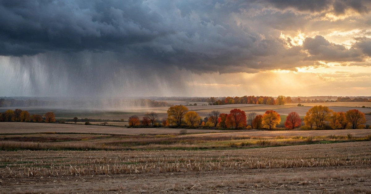
Northeast Ohio gets tonight’s only real rain. The National Weather Service calls for showers likely in the Cleveland area, mainly before 10 p.m., with a 60 percent chance of precipitation and new amounts of less than a tenth of an inch possible, before skies gradually turn partly cloudy overnight with a low around 51 degrees and west winds around 8 mph. Lake County shares that 60 percent chance, with the shower window running roughly from 8 p.m. into the first hours after midnight, so communities holding Beggars Night events along the lakeshore should expect a passing shower rather than a washout. Farther inland, the chance fades — Mansfield has only a slight chance of a shower late tonight, with a low around 42 — and Akron-Canton, fair and 73 degrees at 4 p.m., turns cooler behind the front with overnight lows in the 40s.

Northwest Ohio, which shared the day’s peak warmth — Toledo Express and Defiance both reached 78 degrees with gusts to 25 mph — sees a chance of showers this evening as the front passes, then clouds early and clearing late, according to the National Weather Service. Toledo’s overnight low falls to around 42 degrees behind northwest winds, the chilliest reading in the state tonight, and Friday turns sunny with a high near 62. The gusty southwest wind eases once the front moves through, ending the day-long note about securing loose Halloween decorations and other light outdoor items.
Central and southeast Ohio stay much drier tonight. Columbus, fair at 75 degrees with gusts to 22 mph at 4 p.m., turns partly cloudy with an overnight low in the upper 40s and no significant rain expected, and Dayton and Cincinnati follow the same pattern in the southwest, falling from the middle and upper 70s into the upper 40s to around 50 overnight under mostly clear to partly cloudy skies. Southeast Ohio, from Athens and Marietta toward Portsmouth, also stays dry tonight after a sunny, warm afternoon in the 70s, with only the front’s wind shift to the northwest marking the change.

Friday is cooler everywhere behind the front, but it stays dry and sunny statewide, according to the National Weather Service. Highs reach only near 60 degrees in the Cleveland area and 62 in Toledo, the middle 60s across much of the state’s midsection, near 69 in Columbus and the upper 60s in the southwest, with northwest winds of 5 to 8 mph easing through the day. Friday night turns partly to mostly cloudy with lows in the 40s statewide — the chilliest night of the stretch inland, where parts of north-central Ohio fall to around 40 degrees.
Halloween on Saturday looks dry for trick-or-treaters across Ohio, with mostly cloudy skies, highs in the lower 60s in the northeast and the middle 60s in central Ohio, and Saturday-night lows in the upper 40s to around 51 degrees. A jacket under or over costumes will be a good idea after sunset, but no rain is in the Halloween forecast. Sunday stays mostly cloudy with highs in the upper 60s to near 70 as daylight saving time ends and clocks fall back an hour at 2 a.m.

The pattern loosens after the weekend. The National Weather Service brings shower chances back Sunday night, at about 20 to 30 percent, and keeps a chance of showers in the forecast Monday through Wednesday with highs in the upper 60s to lower 70s, before a stronger system makes showers likely by next Thursday. For tonight, the only travel note is a brief wet road along the Lake Erie shore during the evening showers — everywhere else, Ohio’s dry stretch holds, the front simply trades Thursday’s upper-70s warmth for a cooler, sunny Friday.