


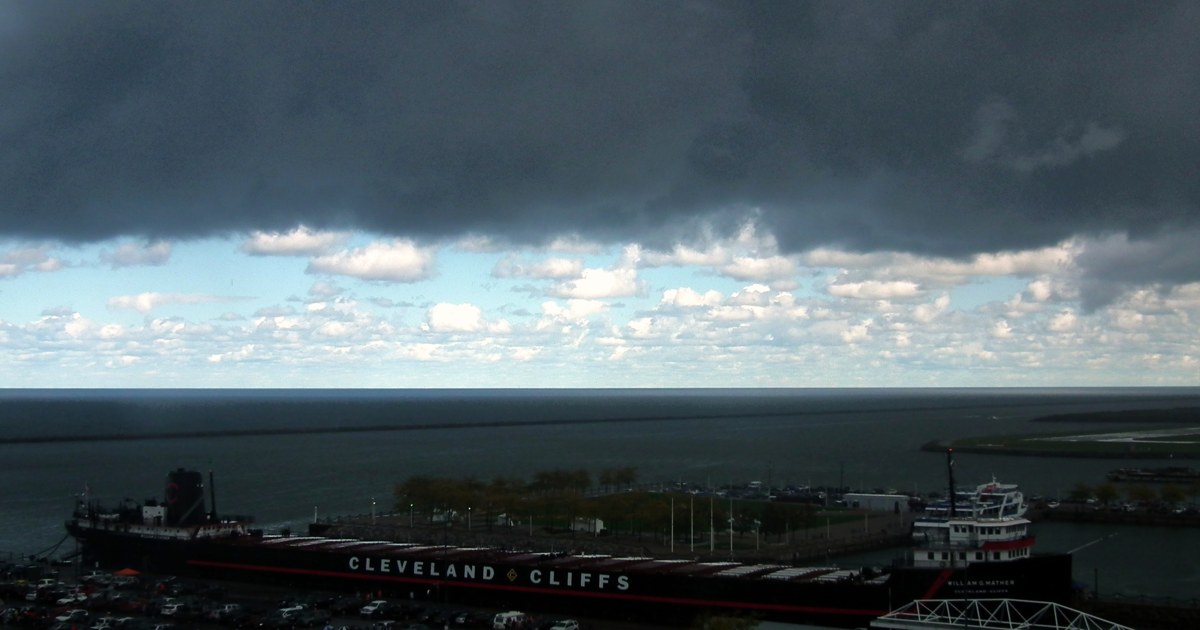
A cold front crossing Ohio on Friday morning is bringing showers to the northern half of the state and ushering in noticeably cooler air for the weekend, according to the National Weather Service. Early-morning temperatures ranged from the upper 40s in the northeast to the low 50s in central and southern Ohio, and in many northern communities those morning readings will be close to the day’s highs, with temperatures steady or slowly falling behind the front. Most of Ohio tops out only between about 50 and 55 degrees Friday, with west to northwest winds of 10 to 15 mph gusting to 25 mph making it feel chillier.
The weather service offices serving Ohio had issued no watches or warnings for Ohio land areas early Friday, and no severe weather is expected. The one headline in effect is in the southwest, where the National Weather Service in Wilmington has a Frost Advisory in place for the Cincinnati area late tonight into Saturday morning, running until 9 a.m. Saturday as lows dip into the mid to upper 30s under clearing skies. On Lake Erie, west to northwest winds will build waves through tonight, so boaters should expect rough conditions on the open lake.

In northwest Ohio, Toledo starts Friday cloudy with showers around early, then turns partly sunny, according to the National Weather Service in Cleveland. Highs reach only around 50 degrees, cooler than Thursday, with northwest winds of 10 to 15 mph and gusts up to 25 mph. A slight chance of a morning shower lingers around Bowling Green and Findlay, where highs also stay in the lower 50s. Tonight turns mostly cloudy across the northwest with lows in the upper 30s, and Saturday brings morning clouds giving way to partial sunshine with highs in the lower 50s.
Northeast Ohio gets the wettest weather Friday. The National Weather Service in Cleveland calls for showers likely in Cleveland, mainly in the morning, with a 70 percent chance of rain and highs in the lower 50s. Along the lakeshore in Lake County and in the Geauga County snowbelt, showers are even more likely — a 90 percent chance — with highs in the mid 50s in the morning falling to around 50 in the afternoon. Akron, Canton and Youngstown all carry a chance of morning showers with highs in the lower to mid 50s and temperatures falling into the upper 40s during the afternoon. Lake-effect showers continue Friday night and Saturday, when Cleveland stays cloudy with a 50 percent chance of showers, highs in the lower 50s and west winds gusting to 30 mph.

Central Ohio stays mostly dry but turns cooler. Around Marion, the National Weather Service expects mostly cloudy skies with a slight chance of a morning shower, then partial clearing in the afternoon, highs in the lower 50s and a 20 percent chance of rain. Columbus follows a similar pattern, with clouds in the morning giving way to some afternoon clearing and a high near 53 degrees. Tonight’s lows fall into the mid 30s around Marion and the low 40s in Columbus, and Saturday stays cool under clouds with highs in the upper 40s to lower 50s.
Southwest and southeast Ohio see the mildest readings Friday, though clouds dominate early. Cincinnati reaches the mid 50s under cloudy skies before clearing tonight, when lows fall into the upper 30s — cold enough for the frost advisory covering the area into Saturday morning, so sensitive plants should be covered or brought inside. Dayton and the Miami Valley stay cloudy with highs in the lower 50s and lows tonight in the mid to upper 30s. In southeast Ohio, Athens is cloudy Friday with a high near 55 degrees, a low around 39 to 40 degrees tonight, and a cooler Saturday near 51 degrees.

Looking ahead, Saturday is the coolest and breeziest day of the weekend, with highs in the upper 40s to lower 50s statewide and lake-effect showers lingering in the northeast into Saturday night. High pressure then builds back across the Ohio Valley, and the National Weather Service expects better weather Sunday through the middle of next week: Sunday turns mostly sunny with highs in the mid to upper 50s, Monday stays mostly sunny in the upper 50s to around 60, and Tuesday reaches the lower 60s under mostly sunny skies. For Friday travel, the main concerns are wet roads during the morning showers in northern Ohio and gusty crosswinds behind the front — allow a little extra room, and dress for temperatures that will feel more like November as the day goes on.
Photo: Erik Drost, CC BY