


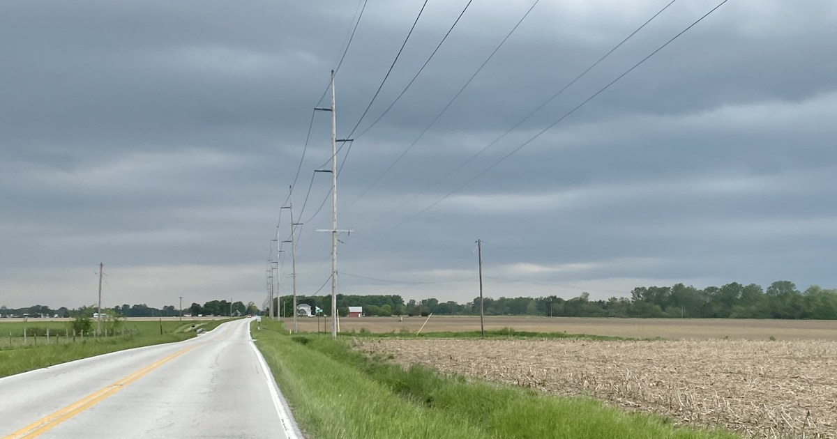
Ohio heads into Saturday afternoon under a stubborn deck of clouds, and the clear-out tonight is what sets up the coldest night of the season so far. Highs this afternoon top out between about 49 degrees in Akron-Canton and 54 in Cincinnati and Portsmouth, with most of the state settling at 50 to 53, according to the National Weather Service tabular state forecast issued in Wilmington at 12:22 p.m. Northwest flow behind a cold front keeps it feeling raw, especially in the north, before winds ease this evening.
The Northeast is still the wet corner for a few more hours. The tabular forecast keeps showers in the picture for Cleveland and Youngstown today, with daytime precipitation chances of about 60 percent in Cleveland and 70 percent in Youngstown, while Akron-Canton stays mostly cloudy with a smaller shower chance. Amounts remain light, but lake-effect showers off Lake Erie continue to drift across the snowbelt this afternoon before tapering tonight.

The Northwest, Central Ohio and the Miami Valley stay dry this afternoon under mostly cloudy to partly cloudy skies. Defiance and Lima reach about 52 to 53, Toledo about 53 under partly cloudy skies, Columbus about 52 and Dayton about 52. It is a gray, chilly afternoon for errands and high school playoff travel alike, with no rain expected outside the northeast.
The Southwest and Southeast get a bit more sun between the clouds. Cincinnati is the sunniest major city today, near 54, Portsmouth is partly cloudy near 54, and Athens is partly cloudy near 53. That relative brightness does not spare the south tonight — in fact, the clearest skies there are exactly why the south and parts of central Ohio will freeze hardest after midnight.

Tonight, skies gradually clear, winds drop, and temperatures fall fast. Lows run from about 29 in Portsmouth and Jackson to 30 in Wilmington, 31 in Athens and Zanesville, 32 in Dayton, Akron and Youngstown, 33 in Columbus and Cincinnati, and about 34 to 35 along the Lake Erie shore in Cleveland, Sandusky and Toledo, the National Weather Service said. The Wilmington forecast office noted that decreasing winds combined with clear skies will lead to overnight lows in the upper 20s to low 30s across its area.
A Freeze Warning runs from midnight tonight until 10 a.m. Sunday for a wide band of southern and central Ohio, including Franklin, Pickaway, Ross, Hamilton, Clermont, Brown, Highland, Adams, Pike and Scioto counties from the Wilmington office, and Lawrence County from the Charleston, West Virginia, office, with sub-freezing temperatures as low as 30 degrees expected. The weather service warns frost and freeze conditions could kill crops and sensitive vegetation and possibly damage unprotected outdoor plumbing, so cover or bring in tender plants this evening and protect exposed pipes before the drop.

Sunday repays the freeze with sunshine statewide and highs of about 55 to 59 degrees. Monday stays sunny with highs in the mid to upper 50s, and Tuesday is the warmest day of the stretch, with sunny skies and highs of about 61 to 67. Clouds return midweek, and rain chances climb Thursday and Friday as highs cool back into the 40s and low 50s — so protect the plants tonight, then enjoy the Sunday-to-Tuesday warm-up while it lasts.
Photo: Warren LeMay, CC BY-SA