


Quick Takeaways
- Tonight, November 17, 2026, stays clear and cold in Ohio, with lows in the upper 20s to mid 30s, patchy fog late and areas of frost before sunrise.
- Wednesday, November 18, 2026, is sunny statewide, with highs in the mid 50s in the north to the low 60s in the south and no rain expected.
- The warm-up builds to the mid 60s by Friday, November 20, 2026, and Saturday, November 21, 2026, before rain chances return on Sunday, November 22, 2026.
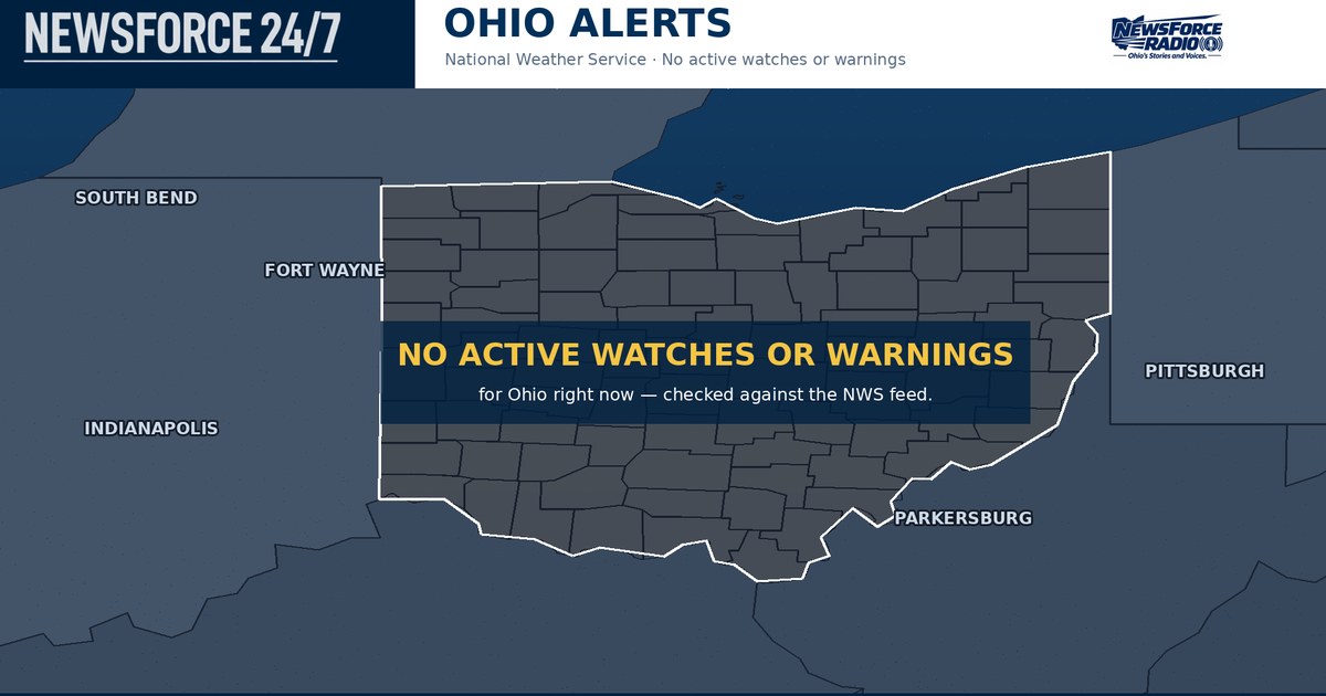
Ohio is settling into a clear, calm and cold night on Tuesday, November 17, 2026, with evening readings already down to near 39 degrees in Columbus and near 42 degrees in Cleveland under clear skies. The National Weather Service (NWS) has no watches, warnings or advisories in effect anywhere in Ohio tonight, and high pressure keeps skies mostly clear statewide with light south winds.
The one thing to watch overnight is what forms under those clear skies and calm winds. The NWS office in Cleveland says patchy fog is possible tonight into Wednesday morning, and NWS point forecasts in southern Ohio call for areas of frost after 3 a.m. and before 8 a.m. on Wednesday. Lows fall into the upper 20s to mid 30s, cold enough for fog to settle into river valleys and other low-lying areas before sunrise.
Overnight lows by region
In the Northwest, Toledo and Lima stay mostly clear tonight, with lows in the low to mid 30s. In the Northeast, Cleveland stays in the mid 30s near Lake Erie, while inland areas around Youngstown and Akron fall into the upper 20s and low 30s, where fog and frost are most likely to form late.
In Central Ohio, Columbus falls to around freezing under clear skies tonight. In the Southwest, Cincinnati and Dayton are clear and cold, with lows in the low to mid 30s, and in the Southeast, Athens and the Ohio River valleys are the first places to watch for patchy fog and frost late, where cold air settles first on a calm night. Early drivers on Wednesday should allow extra time where fog has formed, because visibility can drop quickly over a short distance.
Wednesday sunshine, then a step-by-step warm-up
Wednesday, November 18, 2026, starts with any fog and frost fading before 8 a.m., then turns sunny across Ohio. Highs reach the mid 50s in the Northeast, including Youngstown, the upper 50s around Toledo and Cleveland, near 61 degrees in Columbus, and the low 60s in southern Ohio around Cincinnati. South winds stay light, around 5 to 10 miles per hour, and there is no chance of rain.
Wednesday night is mostly clear again, with lows in the 30s to low 40s, warmest near Lake Erie and in the south. Thursday, November 19, 2026, is mostly sunny with highs in the lower 60s, and the warming trend continues into the weekend with dry weather holding through Saturday, November 21, 2026.
Mid 60s by the weekend, rain returns Sunday
Friday, November 20, 2026, is sunny with highs in the mid 60s, and Saturday, November 21, 2026, is mostly sunny with highs again in the mid 60s, the warmest stretch of the week. No rain is expected on either day, so travel and outdoor plans stay dry statewide through Saturday.
The pattern changes on Sunday, November 22, 2026, when showers move in during the afternoon and evening, with rain chances around 40 to 50 percent. Cooler air follows behind that system, and Monday, November 23, 2026, turns partly cloudy with highs only in the mid to upper 40s. There is no severe weather in the NWS outlook for Ohio this week; the cautions stay with overnight fog and frost, and with wet roads when the rain arrives on Sunday.