


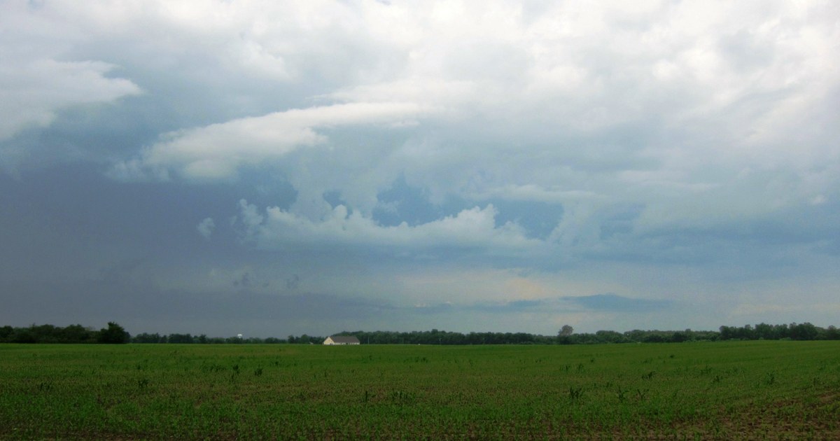
Ohio’s Thursday afternoon is staying gray and unsettled, with temperatures holding in the upper 40s to lower 50s and off-and-on showers moving through in a breezy northwesterly flow, according to the National Weather Service. Another round of rain spreads across the state this evening. The Weather Service office in Wilmington listed no watches, warnings or advisories in effect for Ohio in its early-afternoon update, so this is a cold, soaking rain rather than a severe threat — but it will make for a wet evening commute and a colder night.
Tonight, rain is expected mainly during the evening, with the chance of rain reaching 90 percent in much of central and western Ohio, before tapering later at night. Lows fall into the mid-30s across much of the state, with readings in the middle to upper 30s along Lake Erie and in the southeast. North winds around 10 mph, with gusts up to 20 to 25 mph, will make it feel colder, and drivers should expect wet roads and slick leaves.
In northwest Ohio, Toledo, Findlay and Defiance topped out in the upper 40s Thursday, and tonight’s lows dip into the mid-30s, from about 33 in Defiance to 36 in Toledo. Friday will be colder, with highs only in the lower 40s and a lingering chance of spotty showers. North-central Ohio follows the same pattern, with Mansfield and Sandusky seeing lows in the middle to upper 30s tonight and Friday highs around 39 to 42.
Northeast Ohio stays wettest the longest. Cleveland reached about 50 degrees Thursday and Akron-Canton and Youngstown the upper 40s, with lows tonight in the middle to upper 30s. Friday highs hold in the upper 30s to lower 40s, and the pattern lingers into Saturday, when the Weather Service expects rain around Cleveland and a rain-and-snow mix around Akron-Canton and Youngstown, with highs in the lower to middle 40s.
Central Ohio spent Thursday cloudy with rain, and Columbus topped out near 51 degrees. Rain returns this evening, lows tonight fall to about 37, and Friday highs reach only the lower 40s. In the southwest, Cincinnati reached the lower 50s and Dayton about 51 on Thursday; tonight’s lows settle in the upper 30s, and Friday highs cool to the lower 40s, with a chance of rain returning around Cincinnati.
Southeast Ohio was mildest Thursday, with Athens near 52, Portsmouth near 53 and Marietta near 54. Rain moves through this evening, with lows tonight in the middle to upper 30s. Friday stays warmer in the southeast, with highs in the middle to upper 40s, including about 49 in Marietta, under mostly cloudy skies.
Friday is the colder turn. The Weather Service in Wilmington says colder air spreading in could be deep enough aloft that some snowflakes reach the surface Friday, mixed with spotty showers, though no accumulation is mentioned in its forecast. Friday night lows drop into the upper 20s inland. High pressure takes hold this weekend and ends the rain chances for most of Ohio, but highs stay in the 40s Saturday and Sunday. Sunshine returns Monday through Wednesday, with highs in the lower 50s Tuesday and the middle to upper 50s by Wednesday.
For tonight, plan on extra time on wet roads and a warm coat for the gusty north wind, and check updated forecasts Friday morning — especially in northeast Ohio, where the rain-and-snow mix could linger into Saturday.
Photo: Art Anderson, CC BY-SA 3.0, via Wikimedia Commons