


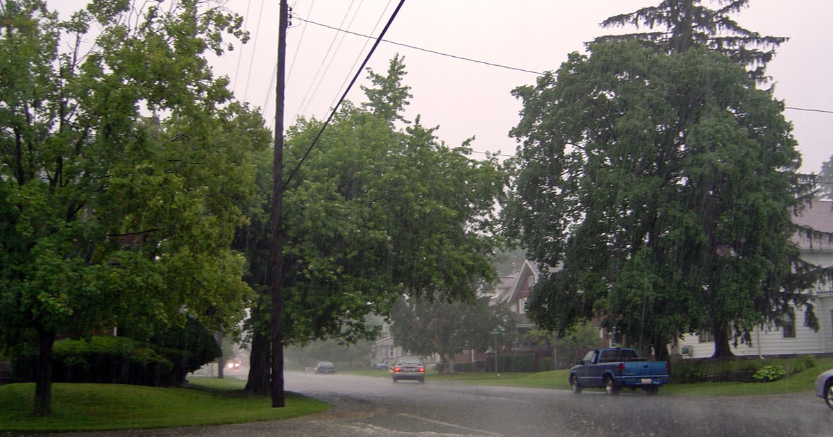
Rain is now falling across Ohio late Wednesday morning, November 4, and the rest of today stays wet and increasingly breezy, according to the National Weather Service. Columbus was reporting rain at 61 degrees with a southeast wind at 10 mph gusting to 19 mph, Wilmington had light rain at 60 degrees with gusts to 21 mph, and Cleveland had light rain at 68 degrees on a south wind gusting to 20 mph. No watches, warnings or advisories were in effect for Ohio late this morning.
The steadiest rain is still ahead for much of the state this afternoon. Central Ohio expects rain through the day in Columbus, with a high near 64, south-southeast winds gusting into the upper 20s this afternoon, and storm totals around seven-tenths of an inch. In southwest Ohio, rain continues around Wilmington and Cincinnati with a high near 64, south winds of 17 to 19 mph and gusts as high as 28 to 31 mph, and roughly a half inch of rain expected for the day.

Northern Ohio turns windier as the rain settles in. Northeast Ohio around Cleveland reaches a high near 70 before temperatures ease into the middle 60s, with rain and south winds of about 20 mph gusting as high as 35 to 36 mph this afternoon, and totals around three-quarters of an inch possible. Along Lake Erie, the National Weather Service in Cleveland expects south winds and rain, mainly after noon in the Toledo area, with waves of 1 to 2 feet and lake water temperatures around 60 to 61 degrees off Toledo and Cleveland.
Southeast Ohio is part of the same statewide rain shield today, with showers spreading across the Ohio Valley and pockets of heavier rain possible where downpours repeat over the same area. Drivers across the state should expect wet roads for the afternoon commute, spray and reduced visibility in heavier showers, and gusty crosswinds on open highways and bridges, especially in northern and western Ohio where the south winds peak this afternoon and early evening.

Tonight, the rain tapers from west to east. Showers linger into the early evening in central and southwest Ohio before skies turn cloudy, with temperatures holding in the 60s this evening and falling into the 50s overnight. In the north, rain is expected mainly before about 1 a.m. along Lake Erie before winds shift to the west-southwest after midnight, according to the National Weather Service in Cleveland.
Thursday is the break in the pattern. The National Weather Service forecasts partly cloudy skies and a high near 65 in Columbus, mostly sunny skies and a high near 64 in the Wilmington area, and a cloudier but dry day around Cleveland with a high near 61, with only about a 10 percent chance of rain in central Ohio. Thursday night turns partly cloudy and cooler, with lows near 50 in Columbus and in the upper 40s to lower 50s elsewhere.

The quieter Thursday does not last all weekend. The National Weather Service in Cleveland said Thursday will be another dry day, followed by a cold front on Friday with a chance of showers and seasonal temperatures returning for the weekend. Central Ohio highs cool into the middle 50s by Saturday under partly sunny skies, so Ohioans get one dry, milder day on Thursday to dry out before the next front arrives.
Photo: laffy4k, CC BY